Travel virtually with the best apps to see cities via satellite
These days, technology allows us to explore the world in ways that were previously unimaginable. An example of this are applications for viewing cities via satellite, which offer a unique and detailed perspective of our planet.
So, whether for travel planning purposes, geographic studies or simply to satisfy curiosity, choosing the right app can make all the difference. In this article, we will explore the best applications available for this purpose, presenting their characteristics and advantages.
In this article you will find:- What are the best apps to view the city via satellite?
- Pros and Cons
- Are satellite city view applications reliable?
- Our opinion
What are the best apps to view the city via satellite?
Here are the 5 best apps for viewing cities via satellite:
- Google Earth
- NASA Worldview
- Zoom Earth
- Sentinel Hub EO Browser
- Mapbox Satellite
1. Google Earth
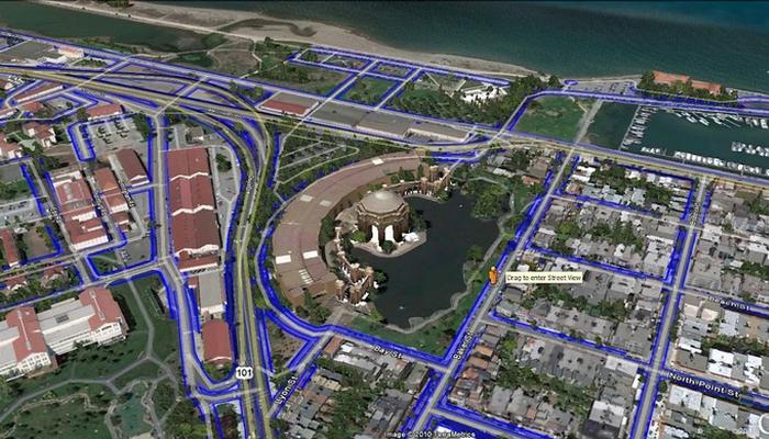
Google Earth is one of the best-known and most widely used tools for viewing cities via satellite. It offers high-resolution images, including 3D views and Street View, allowing users to explore virtually any part of the world.
Additionally, Google Earth offers measurement and annotation capabilities, making it a popular choice for a variety of purposes, from travel planning to geographic studies.
2. NASA Worldview
Developed by NASA, Worldview provides access to near-real-time satellite imagery of Earth. It is a powerful tool for monitoring weather events, natural disasters and environmental changes.
Users can customize visualizations to analyze specific data and explore different layers of information, making it valuable for researchers and scientists.
3. Zoom Earth
Zoom Earth is a simple and effective application for viewing satellite images of the Earth. It offers an intuitive interface and allows users to explore recent satellite images from different regions of the world.
While it may not have all the advanced features of other apps, it’s a solid option for those looking for a straightforward viewing experience.
4. Sentinel Hub EO Browser
EO Browser, powered by Sentinel Hub, offers access to satellite imagery provided by various satellite missions, such as the European Union’s Copernicus program. It is especially useful for analyzing environmental changes and monitoring specific geographic areas.
The application offers a variety of spectral bands and analysis tools for scientists and researchers.
5. Mapbox Satellite
Mapbox Satellite is a popular option for viewing maps and satellite images. It is known for its high image quality and is often used by developers to embed maps into apps and websites.
Additionally, Mapbox offers customization tools to create custom maps, making it a versatile choice for businesses and developers.
Pros and Cons
When considering using applications to view cities via satellite, it is important to weigh the pros and cons:
Pros:
- Detailed Information: The applications offer high-resolution images, allowing a clear and detailed view of cities.
- Accessibility: Most apps are free to use or offer free versions, making them accessible to everyone.
- Global Exploration: You can explore virtually anywhere in the world from the comfort of your home.
- Measurement Tools: Some apps offer measurement tools that allow you to calculate distances and areas.
- Regular Updates: Satellite images are frequently updated, offering accurate and recent information.
Cons:
- Dependence on Internet Connection: To view the images, you need to be connected to the internet, which can be an inconvenience in areas with unstable connections.
- Privacy: There are privacy concerns as these apps can show sensitive information.
- Limitations in Restricted Areas: Some governments restrict access to high-resolution images in sensitive areas for security reasons.
- Data Consumption: Frequent use of these applications may result in high mobile data consumption.
- Hardware Requirements: For an optimal experience, a device with good graphics processing capabilities is required.
Are satellite city view applications reliable?
The reliability of applications for viewing cities via satellite is an important point of consideration. In general, these apps are reliable when it comes to providing accurate and up-to-date images of the Earth.
However, it is important to remember that the information available may be subject to time limitations and government restrictions. Additionally, image quality may vary by region, and it is important to consider the source of the images to ensure their authenticity.
Therefore, while these apps are a valuable tool for exploration and planning, it is always recommended to check the credibility of the sources behind the images and be aware of possible limitations.
Our opinion
In short, satellite city viewing apps offer a fascinating window into our world, allowing us to explore virtually any place on Earth. With a wide range of options available, such as Google Earth and NASA Worldview, these tools are valuable for students, travelers, and geography enthusiasts.
However, it is essential to use these applications responsibly, taking into account concerns about privacy and reliability of information. When used judiciously, these apps can enrich our understanding of the world and provide incredible viewing experiences.


